2011 and 2012
2012 - morning bus for Mamiao and Qianwei
Updated 2012 (2012 text in blue)
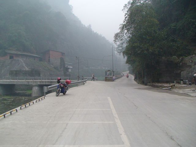
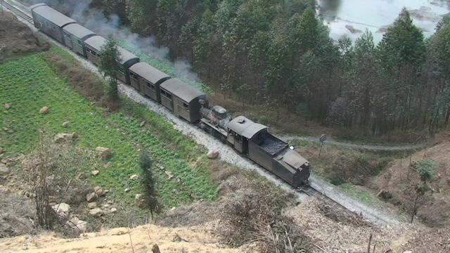
At some point in late 2011, the road was completed and following Chinese New Year 2012, a bus service was introduced. This is supplemented by funny open charabancs with Merecedes badges (fake?) which can be chartered during the daytime for the 7 km ride between Mamiao (where they are based) and Bagou. Last year, I successfully sold a Bagou tour on the basis that the road was coming and that people should see Bagou before it was too late. Now the road is here, it is just one factor that means that Bagou will change quite rapidly from now on. The main factor is the boom in Chinese domestic tourists visiting the line. The railway can now barely cope at weekends during the March flower season. The road allows the railway to promote a train ride one way and then bus/charabanc to Mamiao plus boatride and bus (or just bus from Mamioa) to Qianwei or back to Sanjin. This circular route, do-able in both directions, will allow the railway to carry twice as many tourists on one-way trips. However, it's early days for that and most tourists still use the train both ways although an increasing number of them are walking up and down the tracks as well as riding the trains. In addition to the railway struggling to cope, Bagou guest houses and restaurants also struggle to meet the demand at busy times. A large hotel and more restaurants would seem inevitable.
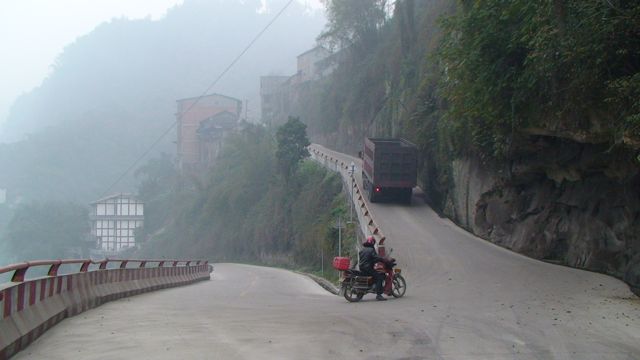
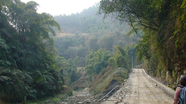
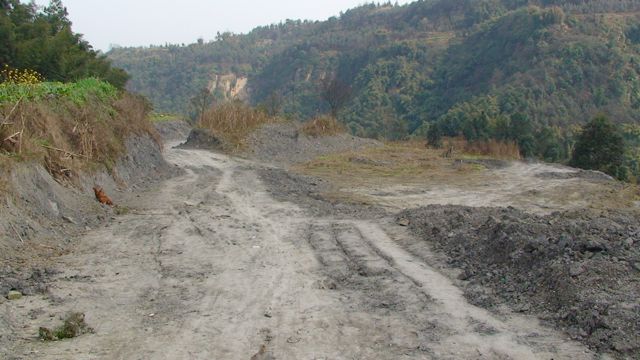
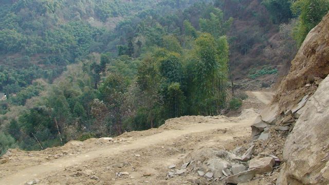
The new road to Bagou allows you to get from Qianwei or Shibanxi to Bagou via Tang Ba and Mamiao. The section from Mamiao to Bagou has a barrier at each end to control traffic. Only approved vehicles are allowed on the road from 7 am to 5 pm and this includes 2 return buses a day leaving Bagou shortly after arriving there at 07:50 and 17:30. There are more frequent buses from Qianwei terminating at Mamiao. I have edited my March 2011 report leaving some photos and adding photos of the same scene now. At Mamiao, the road from Qianwei enters the village at the high level, trucks then reverse down to the low level, before going forward again. i.e. the road operates like a switchback on a railway (as at Darjeeling) as there is no room for the trucks to turn the corners. There is also no signalling in operation!
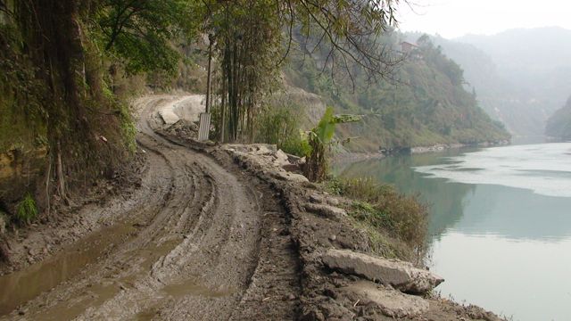
2011 - Lower road at Mamiao along the dammed river
2012 - the switchback (seen from the middle bend) has been improved but is still single track with limited turning cicle. This truck is backing down. Smaller vehicles such as buses can negotiate the bends but only doing at least a two point turn to get round the corners.
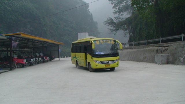
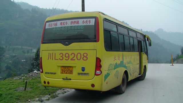
2012 - bus on arrival in Mamiao. The bus station is at river level (below the village) with the charabancs visible on the left
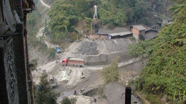
2011 - View down from Mamiao
of the partially completed road to
Huangdan left and Bagou right. Monument and coal mine are visible top
and middle
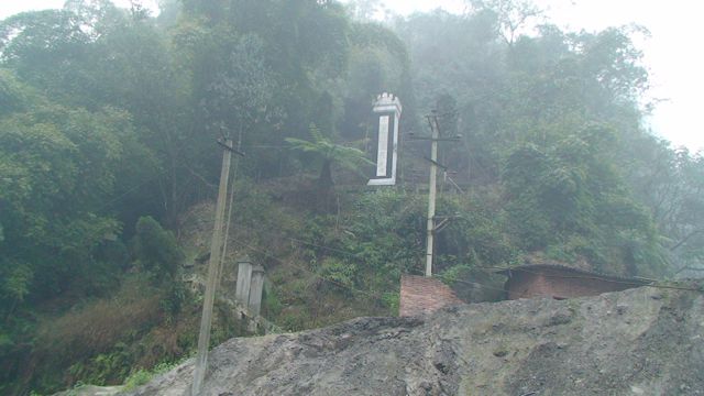
2012 - The monument survives but the coal mine has closed
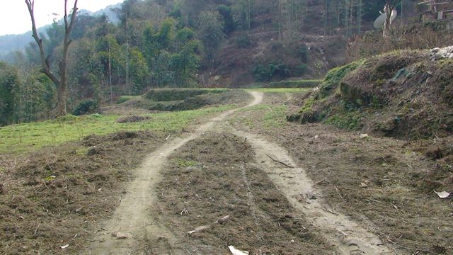
Mamiao - Bagou
2011 - At the low level, along by the dammed river, the road splits immediately
after Mamiao with the left road going (I believe) to Huangdan. This road has
been given priority over the Bagou road and already has several kilometres of
concrete road surface but it lacks a crucial bridge just at the start. Anything
going to Huangdan, must start off fording the stream. They are making concrete
for the road at this point and trucks bring in gravel from the Qianwei side
and trucks with concrete head up the hill towards Huangdan.
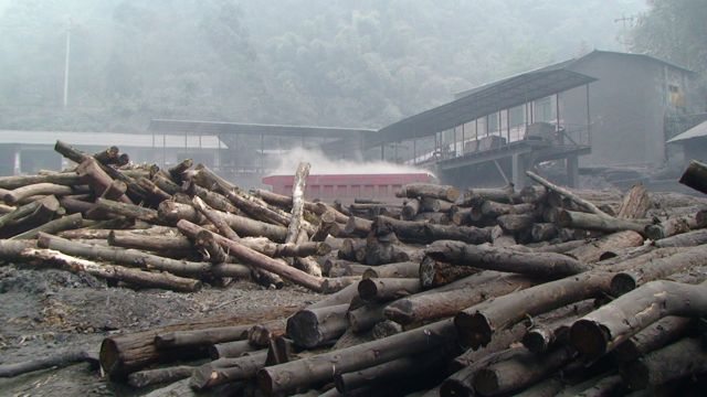
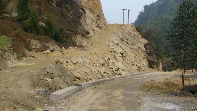
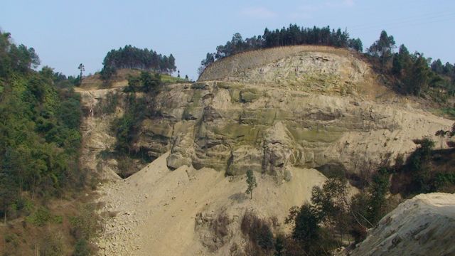
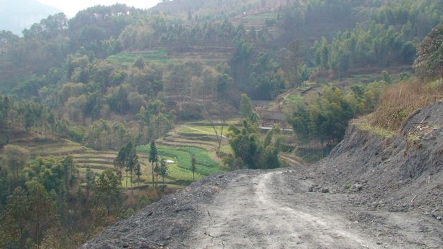
The road to Bagou is the right fork. It doesn't need to cross the stream here and follows a valley all the way to Bagou with 3 crossings of the stream en route. Where the road starts, there are coal mines on either side of the road/stream. Both have railways but no locomotives were in use, cable and pushing seem to do all the work.
2011 - Start of road to Bagou with coal mine either side
2012 - the new bridge on the left (towards Huangdan?) and the barrier on the road to Bagou. Both the coalmines (left and right) have closed.
2011 - Second coal mine at start of road
2012 - sealed mine entrance and abandoned apartment (formerly miners' accommodation?)
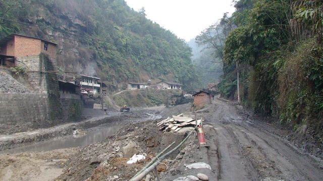
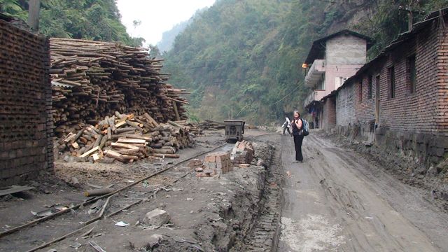
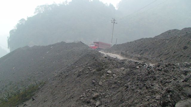
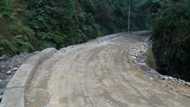
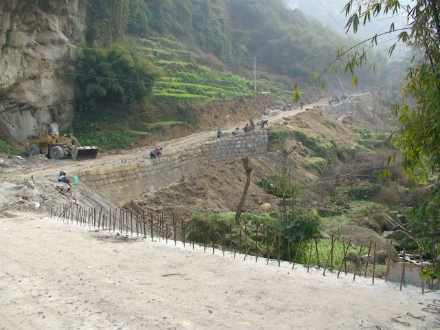
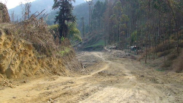
2011 - The first part of the new road is currently in the worst state. There is a drainage ditch and a concrete wall but everything else is still to be done. The road surface is muddy and soft and we saw one truck stuck.
2011 - Drainage ditch and curb are complete on hillward side for much of the road
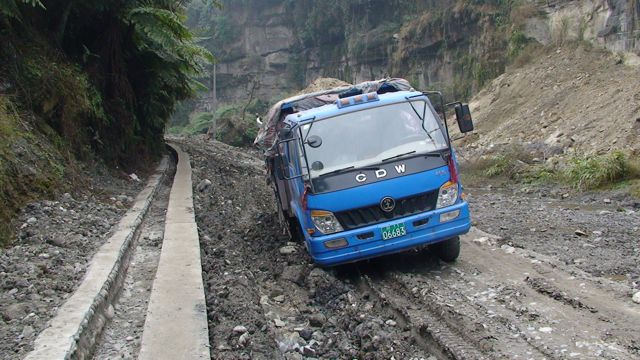
2011 - Stuck truck - it had been moved by the time we got to Bagou
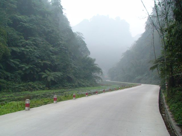
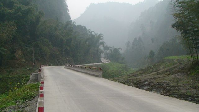
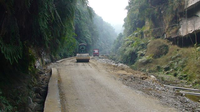
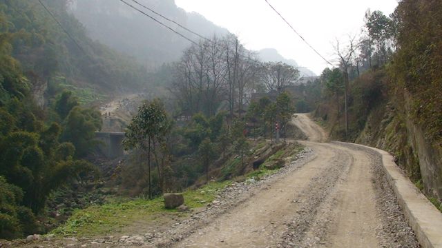
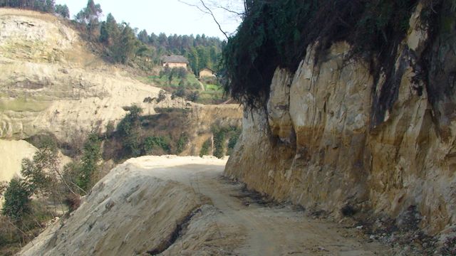
2012 - the pristine new road
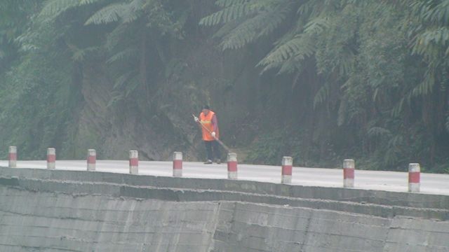
2012 - it even has a road sweeper!
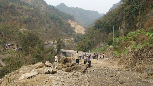
2011 - About half way, there is a substantial bridge which is essentially complete, just beyond here a dirt road drops down to cross the river and goes to what I believe is the only working mine left along the valley (ignoring the two at Mamiao). The location here is walkable from Caiziba down from the curve.
2011 - new bridge
2012 - new bridge
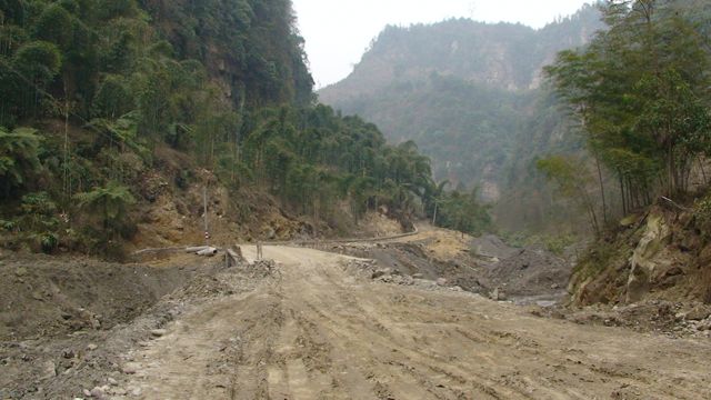
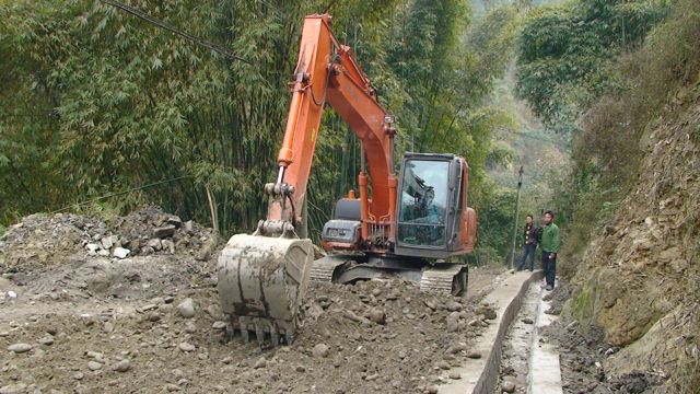
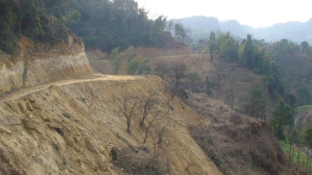
2011 - We saw a digger working on the road here. Higher up, we saw a roller and just before Bagou there is an army of workers working on the final appraoch to Bagou. Apart from that, we saw no more work going on. No section of the road has a concrete surface yet.
2012 - Having found both Mamiao mines closed. I explored all possibilities for working mines on my way back to Bagou. I first tried behind the brickworks (working) but that mine has also closed.
2012 - closed mine (with sealed entrance) behind the brickworks
2012 - I also tried the valley to the right above the road bridge. This mine is still working making it the last mine in the valley. Spoil disposal is by road truck.
2012 - there is quite a sizable spoil heap below the mine
2012 - a grabbed shot of the mine with an L-shape of tracks outside the entrance. Although this is probably public access as the concrete road becomes a dirt road to Xianrenjiao here, I didn't feel that photographs would be welcome.
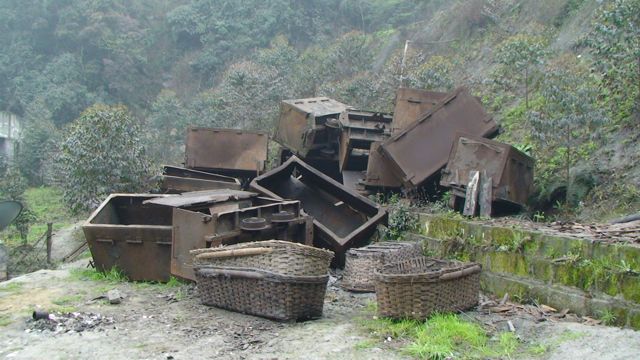
2012 - just off the dirt road above the mine, these tubs and baskets have been dumped
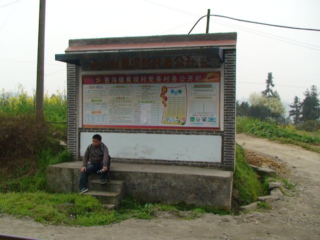
2012 - follow the dirt road above the mine and it brings you to the Jiaoba end of Xianrenjiao station in about 20 minutes. The road down to the mine is seen here heading behind the notice board.
2011 - There is evidence of many closed mines along the way. One of them, I had seen working (on a hike down from Xianrenjiao in 2007) and another had been reported working by Rob in 2009. Both have now closed.
This is the second bridge which is little more than a culvert
2012 - having left the Bagou road to walk up via the mine to Xianrenjiao, I don't have any shots of the section before the Jiaoba truck road joins it.
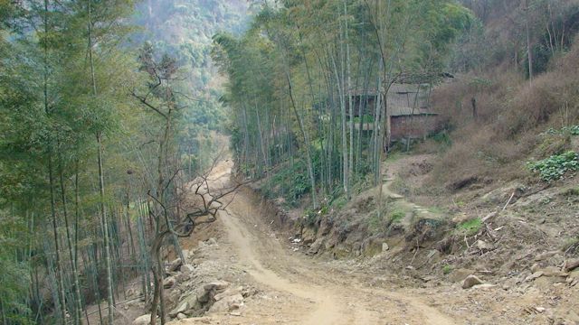
2011 - The new road to Jiaoba comes in just before you reach Bagou. Just after this, there is an existing dirt road which rises up to Bagou station (crossing just by the tunnel) and continuing up the hill to a point above Huangcunjing.
2011 - Road to Jiaoba on the hillside
2011 - Junction of road to Jiaoba
2012 - charanbanc, new bridge and truck road to Jiaoba in the background
2011 - Existing dirt road goes right to cross railway at Bagou station. New bridge on left.
2011 - Looking towards the end of the road opposite Bagou
2011 - Looking back, you can see the bridge and the road to Jiabo heading uphill
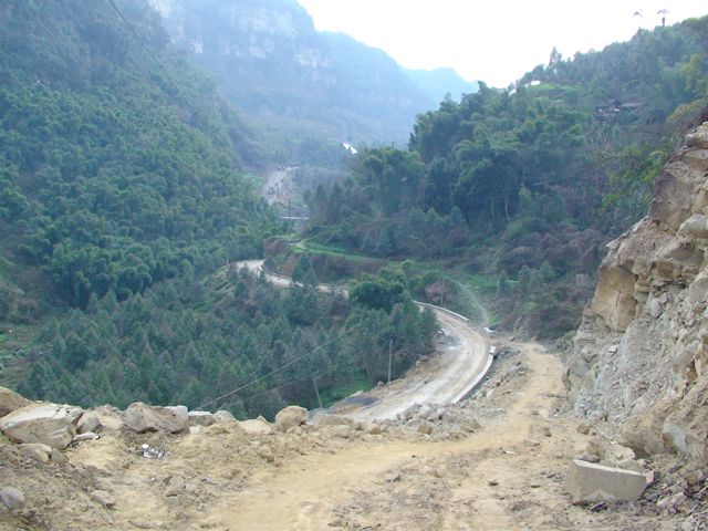
2011 - According to local guide Zebedee, the road will end at a bus station on the outskirts of Bagou on the other side of the stream. The location of this is clear.
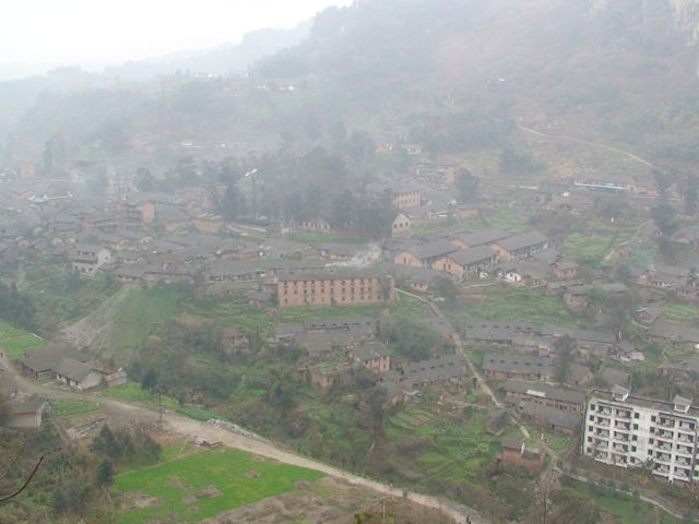
2011 - Picture taken as we started
our hike in the haze - the bus station will be bottom left. Bagou station
is visible below the dirt road top right. Bus passengers will have to walk down
to the stream and up
to the centre of Bagou
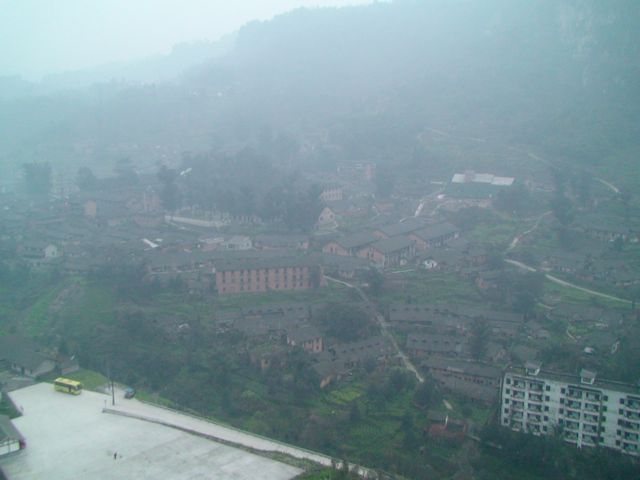
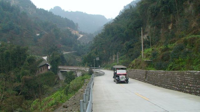
2012 - an almost identical view (in similar haze) showing the new bus station and the new railway station (under construction)
2011 - Based on observations today, with the amount of work currently going on on the road, it will take many months to complete it. However, once the Huangdan road is finished, perhaps work will speed up. The road was due to open 'spring 2011' or 'May 2011'. I find that very hard to believe based on observations today. I am almost tempted to say, 'May - which May?'.
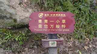
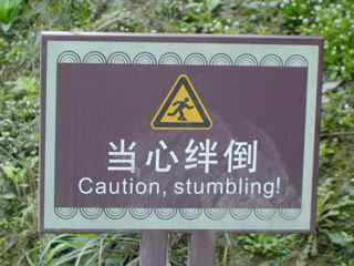
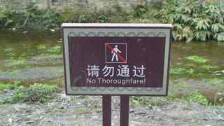
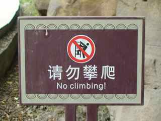
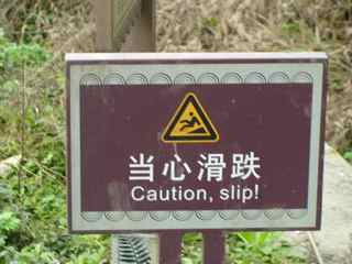
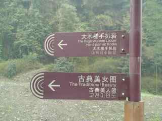
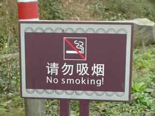
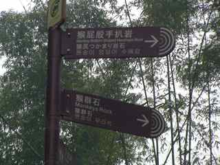
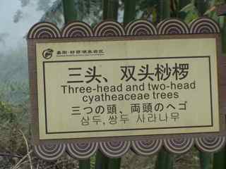
2012 - one of the features of the new road is the number of different multi-lingual signs of which this is just a selection:
 |
 |
 |
 |
 |
 |
 |
 |
 |
 |
The rest of this report has not been amended and relates to the situation in 2011 (although little has changed).
The road to Jiaoba
The new road seen above the scenic curve at Jiaoba has caused some confusion.
While this is not the new Mamiao - Bagou road it does link up with it just below
Bagou. To complete the picture here are some views of this road from the scenic
curve down to the junction. In the other (upwards) direction it must head close
to the older truck road at Xianrenjiao (which crosses the railway on a bridge).
Someone else can check that out.
The road at the Jiaoba scenic curve heading up (to Xianernjiao?)
Narrow and unstable section at the scenic curve
New views of the railway are possible from the road
The road heads towards Jiaoba but then skirts it to the left.
The road heading down to the junction near Jiaoba
Old mine entrance for the Jiaoba mine
Cutting across the old slag tip
Down the face of the slag tip
Looking back at the road climbing the slag tip
In this flat section in front of a farm house, no work has been done but it's already flat and wide enough for a truck
The road continues on the other side
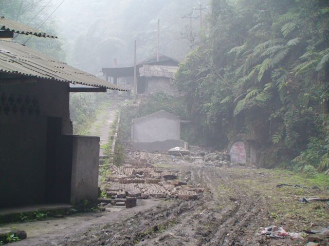
Down through a bamboo grove and abandoned houses
Meeting the Bagou - Mamiao road just below Bagou. This view is looking towards the end of the Bagou road at Bagou.
------------------------------
Email comments to:
![]()